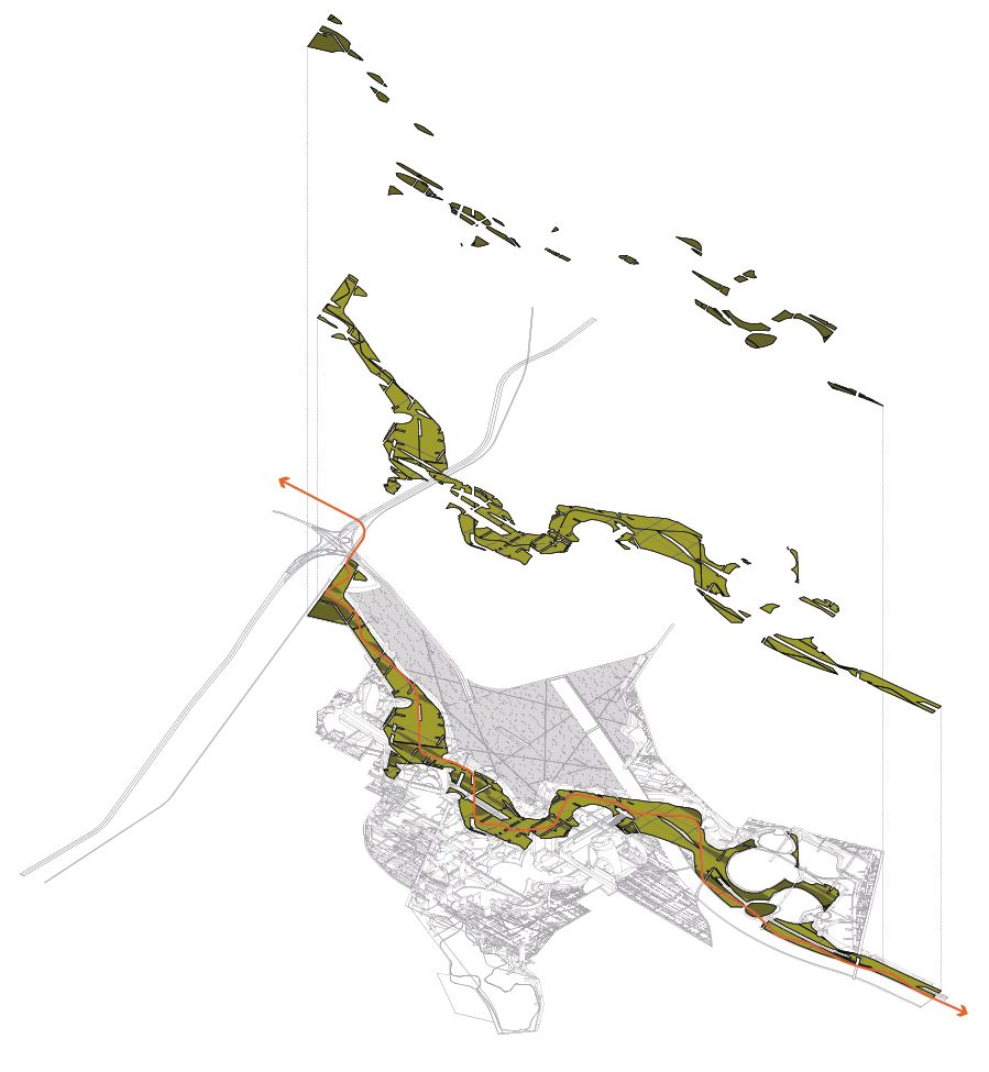
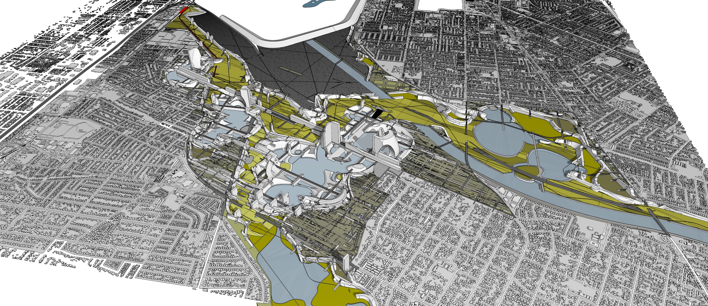
The Irwindale project begins with an eccentric premise: the site is already producing man-made topography at an enormous scale. What reads as post-industrial abandonment — four excavated mining pits, each representing a distinct microclimate — becomes the generative condition for a new model of city-making. Rather than erasing this inverse geography, the project absorbs it, proposing hybrid territories where productive landscapes and metropolitan systems operate through reciprocal intelligence. Irwindale becomes a laboratory for synthetic urbanism: a prototype that refuses the conventional binary of city and countryside, weaving agricultural intelligence into urban intensity and reconnecting the built environment to ecological, recreational, and productive life.
The project connects directly to the Wilshire densification study and LA's broader population growth, linking into the regional watershed system to position Irwindale as a node in a multi-centered city. Like Unicorn Island — where extraordinary site conditions serve as the organizational driver — the excavated voids here create lower and upper datum relationships, not unlike the two-level strategy explored at Qiddiya. The pits function as lower districts while the surrounding grade operates as upper terrain, with the design mediating between ground planes and integrating agricultural systems directly into the urban fabric. What emerges is a combinatory urbanism — one that resists the universalizing impulses of modernism in favor of specificity, contextual intelligence, and adaptability. The approach must remain open: structured enough to engage complexity, loose enough to stay unfinished. It is less a method than a sensibility — a way of seeing that refuses to reduce design to formula, and insists that the built environment is always a direct reflection of the society that produced it.